Walter thought a moment, then shrugged and said that it would mean another night at the camp, but he was amenable. Erin said she was done for the day. We parted ways and Walter charged back up the moraine almost at a jog, while I followed as fast as I could.
It was hardly after 7 by the time that we had roped up again, and the sun was already out in force, giving us animo (as well as later cooking the snow, and our brains on the glacier). However, to my horror, Walter also pointed to low clouds creeping up the valley that looked like they could spoil our weather. Walter finished fixing his crampons and took off with a jolt, practically dragging me after him. We got the wide col that marked the turning point of the route, and despite the snacks I had just eaten, I was starting to drag. After stumbling up another 150 meters with snow botting hatefully on my crampons, I ventured the obvious: the skis needed to go if we wanted to summit before midafternoon. A traverse above to a hungry-looking crevasse seemed like an appropriate place to leave them, since I probably would have to deski to cross the obstacle on the way down anyway. So at 5400 meters I jettisoned the skis.
Walter resting a bit above the col
I call this one "blue steel"

Final pitch too the summit

Relieved of my burden, we made better time for 70 or 80 more meters, but sure enough, I started slowing again. One breath between steps became two, and finally I was panting like a dog between each step. Worse still, the midmorning tropical sun was frying us alive. Yet somehow I stumbled up with my awkward loaner ski boots and the attendant 3 pounds of snow plastered to each crampon and got within 100 meters of the summit. A final steep section of snow put in the final sting, but a couple rope-lengths later, I was on top.
Made it!

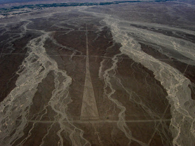
Tall, isn't she?

It must have been the warmest, calmest 18,900 foot peak in the world at the moment. The clouds came and went below us but we stayed in the sun without even a breeze. After snapping as many pictures as I could blindly through an invisible screen on my camera, Walter collected the rope and I collected my wits and we descended.
We made good time back to the cache and it was time to ski. I snapped into the unfamilar bindings and tentatively started down the slope. The first few turns were the crux of the route, it turned out. Although slightly off fall line, a bottomless-seeming icefall loomed to my right. The angle was probably pushing 40 degrees. I jump-turned and slide-slipped over the roll until the top few inches of new snow, that had been overcooked by the sun, started to sluff. I gingerly traversed out of the way and paused for a second before continuing, making sure not to get caught in my sluff until the angle lessened and I had passed the void.
Skiing


My tracks leading down the col, Walter following

The rest of the run went without event, aside from the heavy snow and hairy-skis, which desparately needed a wax. Luckily, a supportive crust lay under the top few inches of mashed potatoes. If we had been three hours earlier, it would have been a few inches of powder on the crust. Oh well.
We made it back to my cached running shoes and unroped. Walter bid his leave and took off back towards camp, while I slowly repacked all the ski gear. I swear the packed weighed three times as much as it did that morning as I tiredly slide down the slabs. Two hours and a minor detour through some shifty talus later, I arrived back at camp just as it started to snow again.
The next morning we got up early and descended back to Cebollapampa to look for an arriero to carry down the remains of our camp. We found the hapless arriero who had fruitlessly waited seven hours for us the day before. We apologetically explained that we were finally ready to descend.
The drive back to Huaraz was a bit of a shock. Four days of climbing in the mountains despite the somewhat exotic feature of being conducted in Spanish had made me forget I was in Perú. Men laden with firewood for kitchen stoves and mudbricks drying beside the road reminded me that what I had done was almost inconceivable to 99% of the population in the country, much less the world. What a strange, wonderful way to be able spend one's time, hypoxically stumbling up dangerous fields of snow in order to slide back down again on planks of wood and plastic.
Planks of wood and plastic.